Helping the U.S. Elevate GeoSpatial Standards
Knowledge Philanthropy
The idea was born in the mid-2000’s as volunteers came together to share their expertise for the betterment of Society.
There is now a long and winding road of engagements that deserve your support and participation, either directly or through funding our superstars. Today, and into the future, GeoSDO is engaging with the community to fulfill the promise within the
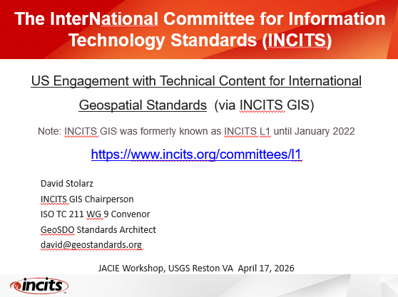
The Joint Agency Commercial Imagery Evaluation (JACIE) workshop is the place where stakeholders meet to share knowledge about innovations in the use of imagery to guide decisions at all levels of government, academia, industry, and missions. As Chair of the INCITS GIS committee, David provided an overview of the current status on international geospatial standards development, as well as methods of engagement with the effort, as part of the Trust, Traceability, and Standards track. For the PDF, clicl on: “US Engagement with Technical Content for International Geospatial Standards (via INCITS GIS)”.
To search the JACIE historical records of abstract and recordings, please see:
https://calval.cr.usgs.gov/apps/JACIEsearch
And for the first minute of the presentation, just press play:
Volunteering at the 2025 UN-GGIM Meeting of the Committee of Experts
Prior videos:
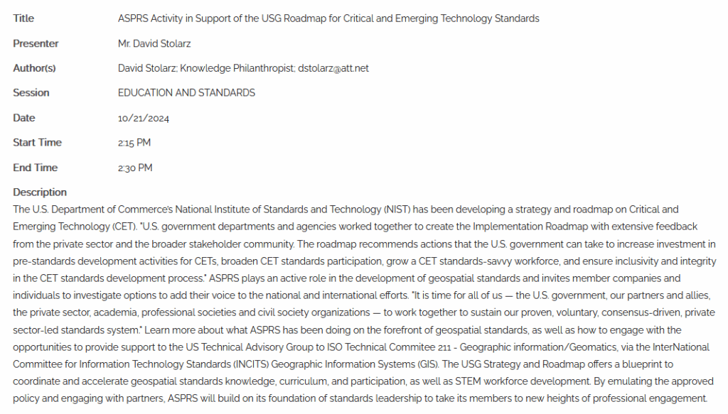
ASPRS Activity in Support of the USG Roadmap for Critical and Emerging Technologies
INSPIRATion
Our main expert is a researcher, designer, and implementor with extensive experience on a all thing geospatial and is translating his expertise into methods of improvement across the range of the world’s challenges.
PassioN
Sometimes need exists yet no immediate profit will drive it into fruition, even though it will provide benefits to a deserving population in the future.
Perseverance
Giving for the sake of a smile can often be taxing, yet our team finds a way to keep forging ahead with the many steps that go into our plans.
TeamWORK
It is often an honor to be the least-brightest talent in the room when true experts debate the path forward, especially when it matches what had occurred in one’s own mind.
Geospatial
Who, What, Where, When and How often define aspects of our world that require action plans for the future, and are contained in geographic information systems.
ASPRS
Geo at its finest in a professional association

INCITS GIS
The U.S. National Standards Body and Technical Advisory Committee to ISO TC 211

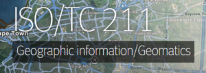
ISO TC 211
30 Years of Continuous Engagement with the Geospatial Industry